My sister drove from Florida to Utah with me then stayed on a few days while I settled into my new home. Hiking and a visit to Ruby Snap Cookies were top priories while she was here.
Looking for a short route near the city, low enough to be clear of snow; we opted for Mount Van Cott, a 6,348-foot summit behind the University Hospital. It’s a short hike, easily accomplished in about two hours, and just steep enough to be a decent workout.
The area is dog friendly, so we borrowed a friend’s pooch for a few hours of company. Indy loved being turned loose to run the trail. If only I had half his energy! Dogs are supposed to remain on leash, but most hikers turn Fido loose once they are a ways up the trail, so make sure your dog is ready to socialize.
The trailhead is just behind the Jewish Community Center next to a power substation. There are several parking spaces and access through the fence to the trail. If the lot isn’t available, park in the garage across the street. From there, hike a ways up a wide gravel road, and then take a steep trail leading to the right to connect with the Shoreline Trail. After a short ways, bear left up what is initially a single-track trail and begin to switchback up the mountain. To continue right will only take you south on the Shoreline Trail. The trail system in the area is confusing even with the best directions because hikers and cyclists have cut numerous unmapped routes.
The hike quickly becomes scenic as the trail winds up the ridge. Having just moved from Florida, I kept stopping to take pictures. Beautiful!
View from partway up the trail.
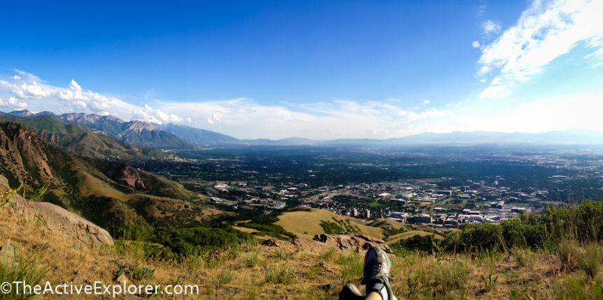
Approaching the summit, the trail levels and the terrain widens. Just a little snow clung to the trail during our visit. At the summit of Mount Van Cott, there are a few good spots to sit and have lunch or a snack while enjoying sweeping views of the Valley, the Oquirrh Mountains to the west, and the Wasatch Range to either side of your position. This is the spot to try that pano function on your camera that you forgot about.
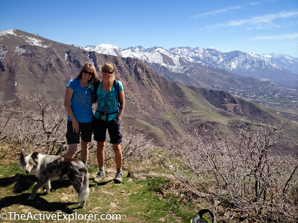
Laura and I at the summit with Indy.
After our snack we headed back down the trail, which gifted us with epic views of the valley the entire way.
If you go:
To find the trailhead, take 100 North east to the University Hospital. Look for the Jewish Community Center on the left and turn in. The substation is behind and a little to the right and has several parking spaces for hikers/bikers. If this lot is unavailable, you may need to park in the garage across the street.
This trail is very open and exposed to the elements, which means it can be hot in the summer and could cool off quickly during other seasons. Pack plenty of water and layers in addition to your regular hiking basics.

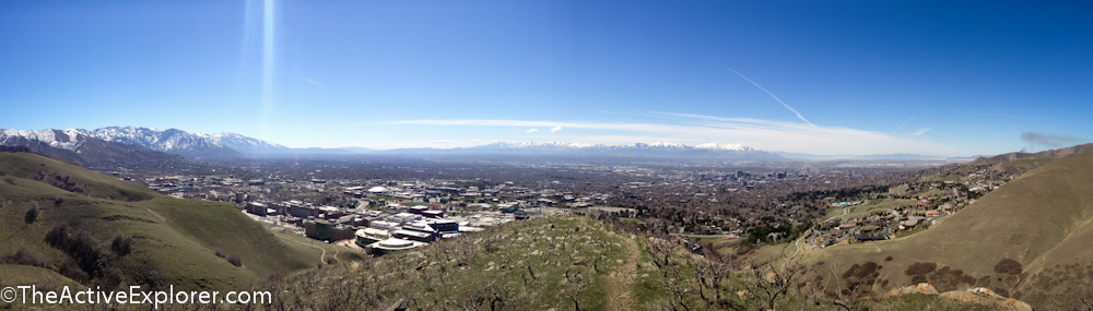
Our view on the way down trail.
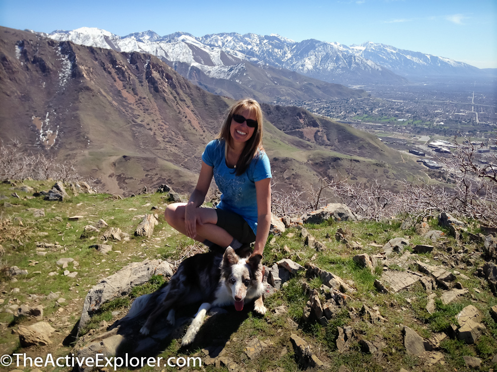
One more shot with my buddy:)
This post was originally published in 2013 and updated in 2022.
Comments 4
Looks like fun Erika! Can’t wait to come visit you there!!
Pingback: The best early winter hikes in Salt Lake City
I’m standing there right now! Glad you posted a picture to make sure I made it to the right place!
I’m glad you found it!! How did you like the hike?